By Cheng Shijie, People’s Daily

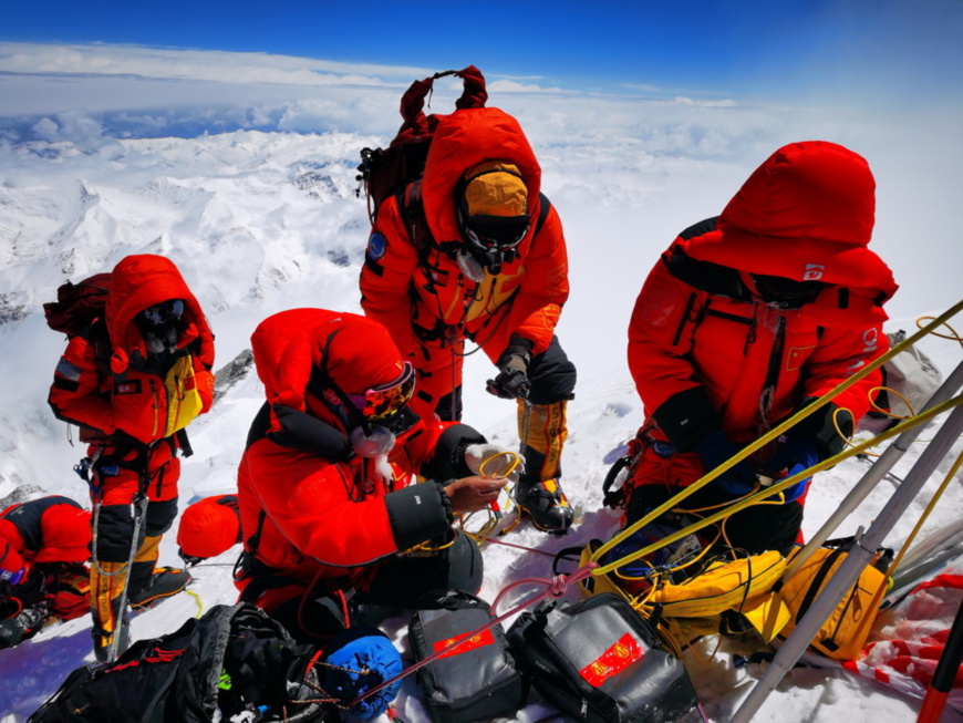
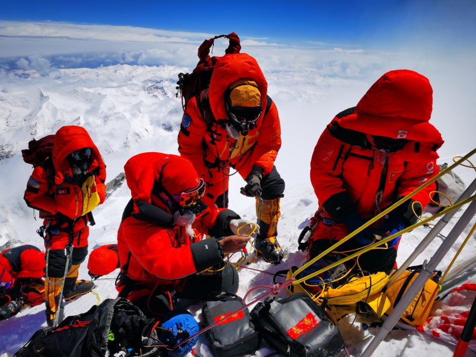
Chinese surveyors conduct surveying atop Mount Qomolangma, May 27, 2020. (Photo by Tashi Tsering, special correspondent of Xinhua News Agency)
A Chinese survey team reached the summit of Mount Qomolangma via the north ridge on May 27.
Climbing the world's highest peak resembles the courage and strength of mankind.
George Mallory, a well-known British mountaineer and explorer, lost his life during his attempt to scale the world's highest peak in 1924.
"Because it's there." Mallory said in response to questions on what motivated him to climb the mountain prior to his last attempt in his life.
The first ascent of Mount Qomolangma by its north ridge was completed by a Chinese expedition team in 1960, at the sacrifice of frostbite, amputation and even life.
Chinese mountaineers measured the height of Mount Qomolangma for the first time on May 27, 1975, or exactly 45 years ago. They faced more challenges in this mission, as their load was further expanded by survey equipment, and they must stay for a longer period of time at the peak in extremely low oxygen content, low temperature and strong gales.
Nowadays, technologies are further contributing to mankind's efforts to conquer Mount Qomolangma.
A couple of days earlier, the world’s highest 5G base station started service on Mount Qomolangma, covering its north ridge and the peak with 5G network for the first time.
China's BeiDou Navigation Satellite System (BDS) was also applied this time to provide the climbers with more accurate positioning service. Precise meteorological data helped the climbers locate the best time for ascending, and tailor-made portable survey equipment also reduced weight while ensuring higher precision.
Also applied for the first time was the airborne gravity technology. Together with remote sensing survey, it would fill relevant data gaps.
Besides, the airborne method is also able to achieve extensive and precise three-dimensional topographic data of Mount Qomolangma and surrounding areas, presenting the world a clearer picture of the mountain.
Nevertheless, the charm of Mount Qomolangma remains everlasting.
In 1975, Chinese climber Xia Boyu suffered frostbite in an expedition and had to have his feet amputated. In 2017, the man had a comeback with prosthetic legs, but was forced to retreat by blizzard though he was only 90 meters away from the summit.
In 2018, Xia finally scaled the mountain, reaching the destination that he has planned for 43 years.
 Menu
Menu
 Chinese survey team reaches the summit of Mount Qomolangma


